![]() This information is unsuited
for any regulatory purpose. It shall not be used for
any such purpose or action, nor shall these reports and
accompanying maps be the basis for any determination
relating to impact assesment or mitigation.
This information is unsuited
for any regulatory purpose. It shall not be used for
any such purpose or action, nor shall these reports and
accompanying maps be the basis for any determination
relating to impact assesment or mitigation.
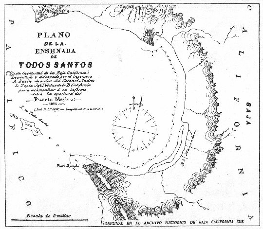
Source: This map was scanned from the earliest
available "hard copy" or paper map. Although
habitat extension accuracy in these maps is uncertain,
the purpose of including these maps is to roughly
document historical wetland perimeter.