![]() This information is
unsuited for any regulatory purpose. It shall not be
used for any such purpose or action, nor shall these
reports and accompanying maps be the basis for any
determination relating to impact assesment or mitigation.
This information is
unsuited for any regulatory purpose. It shall not be
used for any such purpose or action, nor shall these
reports and accompanying maps be the basis for any
determination relating to impact assesment or mitigation.
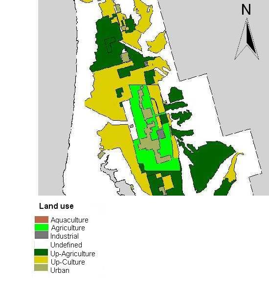
Source: in this map we used information and maps
produced by SAHOPE (Secretaría de Asentamientos Humanos
y Obras Públicas del Estado) and also maps and dataset
produced by INEGI, especially for Ejidos, concessions,
and private property boundaries.