 This information is unsuited for any regulatory purpose.
It shall not be used for any such purpose or action, nor shall
these reports and accompanying maps be the basis for any
determination relating to impact assesment or mitigation.
This information is unsuited for any regulatory purpose.
It shall not be used for any such purpose or action, nor shall
these reports and accompanying maps be the basis for any
determination relating to impact assesment or mitigation.
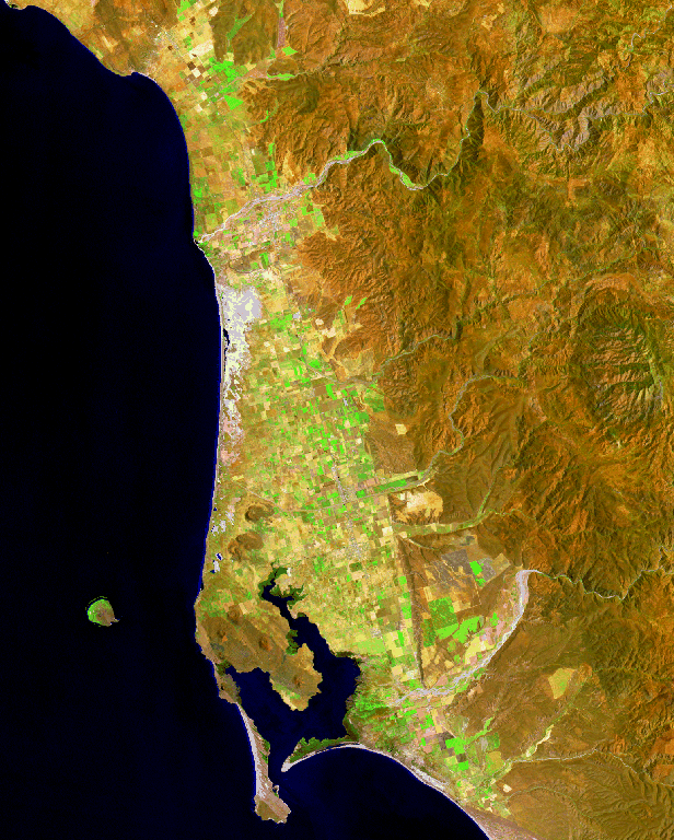
Source: Satelite imagery from Research Supported by the U.S. Geological Survey, Departament of the interior under the USGS Data Grant Program, Agreement to Alejandro Hinojosa (CICESE).