 This information is unsuited for any regulatory purpose.
It shall not be used for any such purpose or action, nor shall
these reports and accompanying maps be the basis for any
determination relating to impact assesment or mitigation.
This information is unsuited for any regulatory purpose.
It shall not be used for any such purpose or action, nor shall
these reports and accompanying maps be the basis for any
determination relating to impact assesment or mitigation.
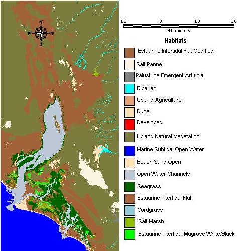
Source: satellite image Landsat TM. made by DUMAC for Pro Esteros Agoust 1999.